GI3492 Subject code deals with the semester IV Subject Total Station And GPS Surveying syllabus of Anna University 2021 Revised regulation syllabus of B.E Geo Informatics Engineering. It is provided based on the student’s point of view to prepare well for academic examinations.
In this article, we would like to discuss the GI3492 – Total Station And GPS Surveying Syllabus. To get good marks in the academic examinations, need a certain guide to assist you with the chapter-wise syllabus right? We include the chapter-wise syllabus for students, to assist them simply. A clear picture of the syllabus in your mind helps to understand the topics from every unit or chapter.
Then you will get an idea of where to begin from the whole syllabus by separating the topics easy from hard topics. Having command of the subject syllabus makes it easy to revise the syllabus for examination and helps you to excel in academics. The following article will give you sufficient information regarding the syllabus. Don’t forget to share it with your friends.
If you want to know more about the syllabus of B.E Geo-Informatics Engineering connected to affiliated institutions under a four-year undergraduate degree program. We provide you with a detailed Year-wise, semester-wise, and Subject-wise syllabus in the following link B.E Geo-Informatics Engineering Syllabus Anna University, Regulation 2021. Hoping this information is useful to you.
Aim Of Concept:
- To understand the working of Total Station and GPS and solve the surveying problems.
GI3492- Total Station And GPS Surveying Syllabus
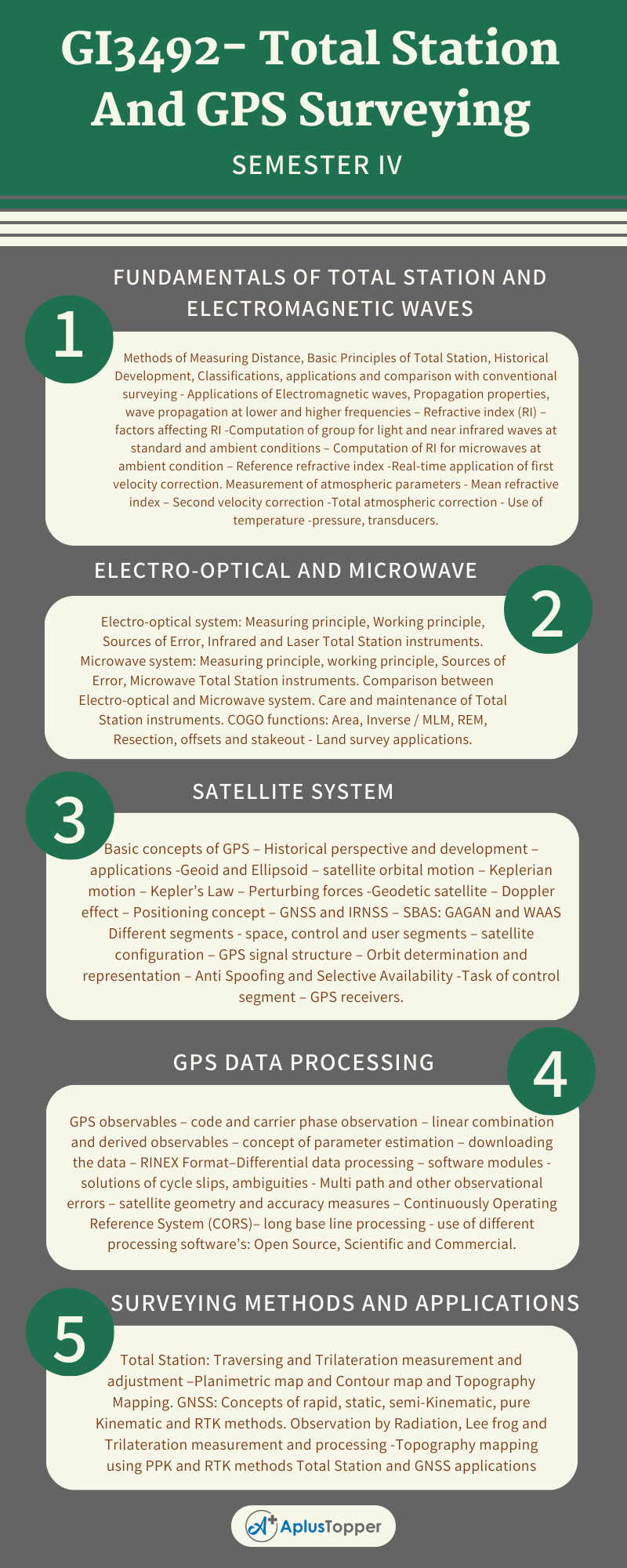
Unit I: Fundamentals Of Total Station And Electromagnetic Waves
Methods of Measuring Distance, Basic Principles of Total Station, Historical Development, Classifications, applications and comparison with conventional surveying – Applications of Electromagnetic waves, Propagation properties, wave propagation at lower and higher frequencies – Refractive index (RI) – factors affecting RI -Computation of group for light and near infrared waves at standard and ambient conditions – Computation of RI for microwaves at ambient condition – Reference refractive index -Real-time application of first velocity correction. Measurement of atmospheric parameters – Mean refractive index – Second velocity correction -Total atmospheric correction – Use of temperature -pressure, transducers.
Unit II: Electro-Optical And Microwave
Electro-optical system: Measuring principle, Working principle, Sources of Error, Infrared and Laser Total Station instruments. Microwave system: Measuring principle, working principle, Sources of Error, Microwave Total Station instruments. Comparison between Electro-optical and Microwave system. Care and maintenance of Total Station instruments. COGO functions: Area, Inverse / MLM, REM, Resection, offsets and stakeout – Land survey applications.
Unit III: Satellite System
Basic concepts of GPS – Historical perspective and development – applications -Geoid and Ellipsoid – satellite orbital motion – Keplerian motion – Kepler’s Law – Perturbing forces -Geodetic satellite – Doppler effect – Positioning concept – GNSS and IRNSS – SBAS: GAGAN and WAAS Different segments – space, control and user segments – satellite configuration – GPS signal structure – Orbit determination and representation – Anti Spoofing and Selective Availability -Task of control segment – GPS receivers.
Unit IV: GPS Data Processing
GPS observables – code and carrier phase observation – linear combination and derived observables – concept of parameter estimation – downloading the data – RINEX Format–Differential data processing – software modules – solutions of cycle slips, ambiguities – Multi path and other observational errors – satellite geometry and accuracy measures – Continuously Operating Reference System (CORS)– long baseline processing – use of different processing software’s: Open Source, Scientific and Commercial.

Unit V: Surveying Methods And Applications
Total Station: Traversing and Trilateration measurement and adjustment –Planimetric map and Contour map and Topography Mapping. GNSS: Concepts of rapid, static, semi-Kinematic, pure Kinematic and RTK methods. Observation by Radiation, Lee frog and Trilateration measurement and processing -Topography mapping using PPK and RTK methods Total Station and GNSS applications
Textbooks:
- Rueger, J.M. Electronic Distance Measurement, Springer-Verlag, Berlin, 4th Edition,1996.
- SatheeshGopi, R Sathish Kumar, N.madhu, ― Advanced Surveying, Total Station GPS and Remote Sensing ― Pearson education, 2nd Edition,2017. isbn: 978-81317 00679.
- Gunter Seeber , Satellite Geodesy, Walter De Gruyter, Berlin, 2nd Edition, 2003
References:
- R. Subramanian, Surveying and Levelling, Oxford University Press, Second Edition, 2012.
- Laurila, S.H. Electronic Surveying in Practice, John Wiley and Sons Inc, 1983
- Guocheng Xu, GPS Theory, Algorithms and Applications, Springer – Verlag, Berlin, 3rd edition,2016.
- Alfred Leick, GPS satellite surveying, John Wiley & Sons Inc., 4th Edition, 2015.
Related Posts On Semester – IV:
- GI3401 – Sensors and Data products
- GI3402 – Digital Image Processing
- GI3403 – Microwave Remote Sensing
- GI3491 – Cartography and GIS
