GI3491 Subject code deals with the semester IV Subject Cartography And GIS syllabus of Anna University 2021 Revised regulation syllabus of B.E Geo Informatics Engineering. It is provided based on the student’s point of view to prepare well for academic examinations.
In this article, we would like to discuss the GI3491 – Cartography And GIS Syllabus. To get good marks in the academic examinations, need a certain guide to assist you with the chapter-wise syllabus right? We include the chapter-wise syllabus for students, to assist them simply. A clear picture of the syllabus in your mind helps to understand the topics from every unit or chapter.
Then you will get an idea of where to begin from the whole syllabus by separating the topics easy from hard topics. Having command of the subject syllabus makes it easy to revise the syllabus for examination and helps you to excel in academics. The following article will give you sufficient information regarding the syllabus. Don’t forget to share it with your friends.
If you want to know more about the syllabus of B.E Geo-Informatics Engineering connected to affiliated institutions under a four-year undergraduate degree program. We provide you with a detailed Year-wise, semester-wise, and Subject-wise syllabus in the following link B.E Geo-Informatics Engineering Syllabus Anna University, Regulation 2021. Hoping this information is useful to you.
Aim Of Concept:
- To introduce concepts of Cartography and GIS
- To expose the process of map making and production
- To introduce GIS data structures, data input and data presentation
GI3491- Cartography And GIS Syllabus
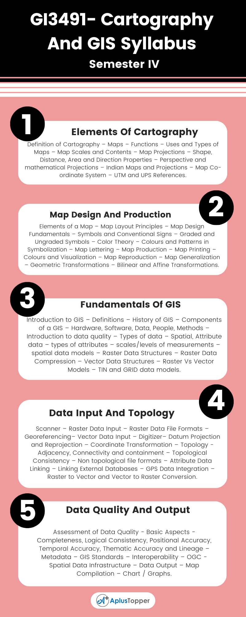
Unit I: Elements Of Cartography
Definition of Cartography – Maps – Functions – Uses and Types of Maps – Map Scales and Contents – Map Projections – Shape, Distance, Area and Direction Properties – Perspective and mathematical Projections – Indian Maps and Projections – Map Co-ordinate System – UTM and UPS References.
Unit II: Map Design And Production
Elements of a Map – Map Layout Principles – Map Design Fundamentals – Symbols and Conventional Signs – Graded and Ungraded Symbols – Color Theory – Colours and Patterns in Symbolization – Map Lettering – Map Production – Map Printing – Colours and Visualization – Map Reproduction – Map Generalization – Geometric Transformations – Bilinear and Affine Transformations.
Unit III: Fundamentals Of GIS
Introduction to GIS – Definitions – History of GIS – Components of a GIS – Hardware, Software, Data, People, Methods – Introduction to data quality – Types of data – Spatial, Attribute data – types of attributes – scales/levels of measurements – spatial data models – Raster Data Structures – Raster Data Compression – Vector Data Structures – Raster Vs Vector Models – TIN and GRID data models.
Unit IV: Data Input And Topology
Scanner – Raster Data Input – Raster Data File Formats – Georeferencing– Vector Data Input – Digitizer– Datum Projection and Reprojection – Coordinate Transformation – Topology – Adjacency, Connectivity and containment – Topological Consistency – Non topological file formats – Attribute Data Linking – Linking External Databases – GPS Data Integration – Raster to Vector and Vector to Raster Conversion.

Unit V: Data Quality And Output
Assessment of Data Quality – Basic Aspects – Completeness, Logical Consistency, Positional Accuracy, Temporal Accuracy, Thematic Accuracy and Lineage – Metadata – GIS Standards – Interoperability – OGC – Spatial Data Infrastructure – Data Output – Map Compilation – Chart / Graphs.
Textbooks:
- Arthur H. Robinson et al, “Elements of Cartography”, 7th Edition, Wiley, 2002.
- Kang–Tsung Chang, “Introduction to Geographic Information Systems”, McGraw Hill Publishing, Fourth Edition, 2017.
- Ian Heywood, Sarah Cornelius, Steve Carver, Srinivasa Raju, “An Introduction to Geographical Information Systems, Pearson Education, Fourth Edition, 2011.
References:
- John Campbell, “Introductory Cartography”, Wm. C.BrownPublishers,3rd Edition,2004
- Chor Pang LO, Albert K. W. Yeung, “Concepts and Techniques of Geographic Information Systems”, Pearson Education, 2nd Edition, November 2016. ISBN: 9789332581883.
Related Posts On Semester – IV:
- GI3401 – Sensors and Data products
- GI3402 – Digital Image Processing
- GI3403 – Microwave Remote Sensing
- GI3492 – Total Station and GPS Surveying
