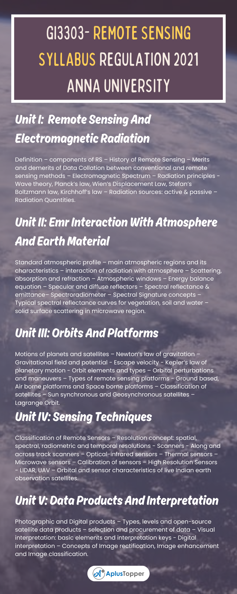
GI3303 Subject code deals with the semester III Subject Remote Sensing syllabus of Anna University 2021 Revised regulation syllabus of B.E Geo Informatics Engineering. It is provided based on the student’s point of view to prepare well for academic examinations.
In this article, we would like to discuss the GI3303 – Remote Sensing Syllabus. To get good marks in the academic examinations, need a certain guide to assist you with the chapter-wise syllabus right? We include the chapter-wise syllabus for students, to assist them simply. A clear picture of the syllabus in your mind helps to understand the topics from every unit or chapter.
Then you will get an idea of where to begin from the whole syllabus by separating the topics easy from hard topics. Having command of the subject syllabus makes it easy to revise the syllabus for examination and helps you to excel in academics. The following article will give you sufficient information regarding the syllabus. Don’t forget to share it with your friends.
If you want to know more about the syllabus of B.E Geo-Informatics Engineering connected to affiliated institutions under a four-year undergraduate degree program. We provide you with a detailed Year-wise, semester-wise, and Subject-wise syllabus in the following link B.E Geo-Informatics Engineering Syllabus Anna University, Regulation 2021. Hoping this information is useful to you.
Aim Of Concept:
- To introduce the concepts of remote sensing processes and its components.
- To expose the various remote sensing platforms and sensors and to introduce the elements of data interpretation
GI3303- Remote Sensing Syllabus
Unit I: Remote Sensing And Electromagnetic Radiation
Definition – components of RS – History of Remote Sensing – Merits and demerits of Data Collation between conventional and remote sensing methods – Electromagnetic Spectrum – Radiation principles – Wave theory, Planck‘s law, Wien’s Displacement Law, Stefan’s Boltzmann law, Kirchhoff‘s law – Radiation sources: active & passive – Radiation Quantities.
Unit II: Emr Interaction With Atmosphere And Earth Material
Standard atmospheric profile – main atmospheric regions and its characteristics – interaction of radiation with atmosphere – Scattering, absorption and refraction – Atmospheric windows – Energy balance equation – Specular and diffuse reflectors – Spectral reflectance & emittance– Spectroradiometer – Spectral Signature concepts – Typical spectral reflectance curves for vegetation, soil and water – solid surface scattering in microwave region.
Unit III: Orbits And Platforms
Motions of planets and satellites – Newton‘s law of gravitation – Gravitational field and potential – Escape velocity – Kepler‘s law of planetary motion – Orbit elements and types – Orbital perturbations and maneuvers – Types of remote sensing platforms – Ground based, Air borne platforms and Space borne platforms – Classification of satellites – Sun synchronous and Geosynchronous satellites – Lagrange Orbit.
Unit IV: Sensing Techniques
Classification of Remote Sensors – Resolution concept: spatial, spectral, radiometric and temporal resolutions – Scanners – Along and across track scanners – Optical-infrared sensors – Thermal sensors – Microwave sensors – Calibration of sensors – High Resolution Sensors – LIDAR, UAV – Orbital and sensor characteristics of live Indian earth observation satellites.

Unit V: Data Products And Interpretation
Photographic and Digital products – Types, levels and open-source satellite data products – selection and procurement of data – Visual interpretation: basic elements and interpretation keys – Digital interpretation – Concepts of Image rectification, Image enhancement and Image classification.
Textbooks:
- Thomas M. Lillesand, Ralph W. Kiefer and Jonathan W. Chipman, Remote Sensing and Image interpretation, John Wiley and Sons, Inc., New York, 2015.
- George Joseph and C Jeganathan, Fundamentals of Remote Sensing, Third Edition Universities Press (India) Private limited, Hyderabad, 2018.
References:
- Stanley A Morain; Amelia M Budge; Michael S Renslow. Manual of Remote Sensing. Vol. I, American Society for Photogrammetry and Remote Sensing, Virginia, USA,2019, 4th edition
- Verbyla, David, Satellite Remote Sensing of Natural Resources. CRC Press,2022 first edition.
- Paul Curran P. J. Principles of Remote Sensing Longman, RLBS, 1996.
- Introduction to Physics and Techniques of Remote Sensing, Charles Elachi and Jacob Van Zyl, 2021 Edition3, Wiley Publication.
- Basudeb Bhatta, Remote Sensing and GIS, Oxford University Press, 2020 third edition.
Related Posts On Semester – III:
- MA3302 – Transforms and Statistics
- GI3301 – Spatial Database Management system
- GI3302 – Surveying
- GI3304 – Geodesy
- GI3391 – Photogrammetry
