GI3301 Subject code deals with the semester III Subject Spatial Database Management syllabus of Anna University 2021 Revised regulation syllabus of B.E Geo Informatics Engineering. It is provided based on the student’s point of view to prepare well for academic examinations.
In this article, we would like to discuss the GI3301 – Spatial Database Management Syllabus. To get good marks in the academic examinations, need a certain guide to assist you with the chapter-wise syllabus right? We include the chapter-wise syllabus for students, to assist them simply. A clear picture of the syllabus in your mind helps to understand the topics from every unit or chapter.
Then you will get an idea of where to begin from the whole syllabus by separating the topics easy from hard topics. Having command of the subject syllabus makes it easy to revise the syllabus for examination and helps you to excel in academics. The following article will give you sufficient information regarding the syllabus. Don’t forget to share it with your friends.
If you want to know more about the syllabus of B.E Geo-Informatics Engineering connected to affiliated institutions under a four-year undergraduate degree program. We provide you with a detailed Year-wise, semester-wise, and Subject-wise syllabus in the following link B.E Geo-Informatics Engineering Syllabus Anna University, Regulation 2021. Hoping this information is useful to you.
Aim Of Concept:
- Introduce the students to the concepts of DBMS, Spatial Database Management System (SDBMS), Spatial Database design, basic application program development and user interfaces.
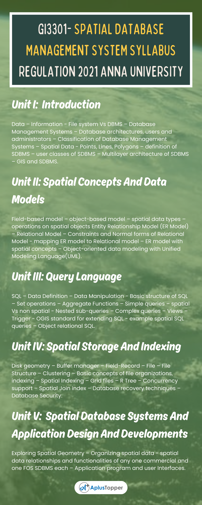
GI3301- Spatial Database Management System Syllabus
Unit I: Introduction
Data – Information – File system Vs DBMS – Database Management Systems – Database architectures, users and administrators – Classification of Database Management Systems – Spatial Data – Points, Lines, Polygons – definition of SDBMS – user classes of SDBMS – Multilayer architecture of SDBMS – GIS and SDBMS.
Unit II: Spatial Concepts And Data Models
Field-based model – object-based model – spatial data types – operations on spatial objects Entity Relationship Model (ER Model) – Relational Model – Constraints and Normal forms of Relational Model – mapping ER model to Relational model – ER model with spatial concepts – Object-oriented data modeling with Unified Modeling Language(UML).
Unit III: Query Language
SQL – Data Definition – Data Manipulation – Basic structure of SQL – Set operations – Aggregate Functions – Simple queries – spatial Vs non spatial – Nested sub-queries – Complex queries – Views – Trigger – OGIS standard for extending SQL – example spatial SQL queries – Object relational SQL.
Unit IV: Spatial Storage And Indexing
Disk geometry – Buffer manager – Field-Record – File – File Structure – Clustering – Basic concepts of file organizations, indexing – Spatial Indexing – Grid files – R Tree – Concurrency support – Spatial Join index – Database recovery techniques – Database Security.

Unit V: Spatial Database Systems And Application Design And Developments
Exploring Spatial Geometry – Organizing spatial data – spatial data relationships and functionalities of any one commercial and one FOS SDBMS each – Application program and user Interfaces.
Textbooks:
- Shashi Shekhar, Sanjay Chawla,” Spatial Databases a Tour” Prentice Hall, 1st edition, 2003.
- Philippe Rigaux, Michel Scholl, Agnès Voisard “Spatial Databases” Morgan Kaufmann,2001
References:
- Abraham Silberschatz, Henry F. Korthand S. Sudharshan,“Database System Concepts”, 7th edition, McGraw Hill, 2020.
- Ravi Kothuri, Albert Godfrind, Euro Beinat “Pro Oracle Spatial for Oracle Database 11g”, Apress, 2019.
- Regina, Leo Hsu “Post GIS in Action”, Oreilly&AssociatesInc., third edition (2021).
- Vijay Gandhi; James Kang; Shashi Shekhar, “Spatial Databases.” Minnesota univ minneapolis dept of electrical and computer engineering, 2007
- Albert K. W. Yeung & G. Brent Hall ,” Spatial Data and Spatial Database Systems”, 2007
Related Posts On Semester – III:
