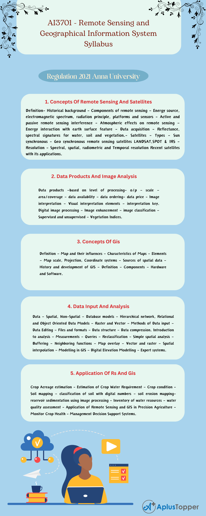
In this article subject code AI3701 deals with the Remote Sensing and Geographical Information System Syllabus of Anna University B.Tech Agricultural Engineering syllabus, Regulation 2021. This will help you to understand the academic syllabus well in one place.
We include the unit-wise syllabus in this article AI3701 – Remote Sensing and Geographical Information System Syllabus, to help the students get a detailed syllabus of this subject. Having a good knowledge of the topics in the syllabus of this subject, helps you to make your effective notes and strategies before someone else does from your fellow friends. This will simplify your process of searching for syllabi. Including the reference books and the required textbooks to read. The following article will help you to guide the syllabus unit-wise. Hoping this information is useful to you. Kindly share it with your classmates.
If you want to know more about the syllabus of B.Tech Agricultural Engineering connected to an affiliated institution’s four-year undergraduate degree program. We provide you with a detailed Year-wise, semester-wise, and Subject-wise syllabus in the following link B.Tech Agricultural Engineering Syllabus Anna University, Regulation 2021.
Aim Of Objectives:
- To introduce the principles and basic concepts of Remote Sensing and GIS.
- To introduce the remote sensing systems, data products and analysis.
- To introduce concepts of GIS 9 Map and their influences.
- To introduce the spatial data models, analysis and presentation techniques.
- To study the applications of Remote Sensing and GIS in agriculture, soil and water resources.
AI3701 – Remote Sensing and Geographical Information System Syllabus
Unit I: Concepts Of Remote Sensing And Satellites
Definition- Historical background – Components of remote sensing – Energy source, electromagnetic spectrum, radiation principle, platforms and sensors – Active and passive remote sensing interference – Atmospheric effects on remote sensing – Energy interaction with earth surface feature – Data acquisition – Reflectance, spectral signatures for water, soil and vegetation.- Satellites – Types – Sun synchronous – Geo synchronous remote sensing satellites LANDSAT,SPOT & IRS – Resolution – Spectral, spatial, radiometric and Temporal resolution Recent satellites with its applications.
Unit II: Data Products And Image Analysis
Data products –based on level of processing- o/p – scale – area/coverage – data availability – data ordering- data price – Image interpretation – Visual interpretation elements – interpretation key. Digital image processing – Image enhancement – image classification – Supervised and unsupervised – Vegetation Indices.
Unit III: Concepts Of Gis
Definition – Map and their influences – Characteristics of Maps – Elements – Map scale, Projection, Coordinate systems – Sources of spatial data – History and development of GIS – Definition – Components – Hardware and Software.

Unit IV: Data Input And Analysis
Data – Spatial, Non-Spatial – Database models – Hierarchical network, Relational and Object Oriented Data Models – Raster and Vector – Methods of Data input – Data Editing – Files and formats – Data structure – Data compression. Introduction to analysis – Measurements – Queries – Reclassification – Simple spatial analysis – Buffering – Neighboring functions – Map overlay – Vector and raster – Spatial interpolation – Modelling in GIS – Digital Elevation Modelling – Expert systems.
Unit V: Application Of Rs And Gis
Crop Acreage estimation – Estimation of Crop Water Requirement – Crop condition – Soil mapping – classification of soil with digital numbers – soil erosion mapping- reservoir sedimentation using image processing – Inventory of water resources – water quality assessment – Application of Remote Sensing and GIS in Precision Agriculture – Monitor Crop Health – Management Decision Support Systems.
Textbooks:
- Anji Reddy. M, Remote Sensing and Geographical Information Systems, BS Publications, Hyderbad, 2001
- Lillesand, T. M., and Kiefer, R.W., Remote Sensing and Image Interpretation, John Wiley and Sons, New York, 2000.
References:
- Bettinger, P., and Michael, G.W., “Geographical Information System: Applications in Forestry and Natural Resources Management,” Tata McGraw–Hill Higher Education, New Delhi, 2003
- Ian Heywood., “An Introduction to GIS”, Pearson Education, New Delhi, 2001.
- Jeffery Star and John Estes, “Geographical Information System – An Introduction,” Prentice Hall India Pvt. Ltd., New Delhi, 1998.
- Patel A.N & Surendra Singh, “Remote sensing principles & applications”, Scientific Publishers, Jodhpur 1992.
Related Posts On Semester – VII:
- AI3702 – Renewable Energy in Agricultural Engineering
- GE3791 – Human Values and Ethics
- GE3752 – Total Quality Management
Also Check:
